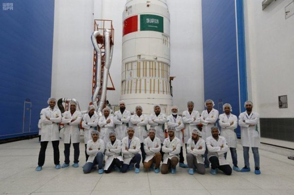
The two satellites, Sat 5a and Sat 5b, were developed by King Abdulaziz City for Science and Technology (KACST) and will be used for aerial surveying purposes, according to the official SPA news agency.
“This achievement comes as a result of KACST efforts over the past years,” KACST chief Turki bin Saud bin Mohammed said. He said KACST “has been working to build national cadres capable of dealing with these technologies and the establishment of advanced infrastructure.”
SAUDI ARABIA’S VISION 2030
The satellites will be used to provide high-resolution images of the planet’s surface from low earth orbits, help with urban planning, monitor movements and changes on the earth’s surface, and provide government agencies with services, in particular, high-resolution images.

The launch of the two new satellites is in line with Saudi Arabia’s Vision 2030, which aims to nationalize strategic technologies in Saudi Arabia, maximize local content, and empower Saudi youth to develop advanced technologies in the field of satellite development and construction.


